Guernsey Airport (GCI)
Orientation and Maps
(Guernsey, Channel Islands)
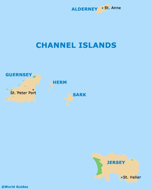
One of the acclaimed Channel Islands and second only in size to nearby Jersey, Guernsey is also close to a number of smaller islands and islets, including Alderney, Herm and Sark, amongst others.
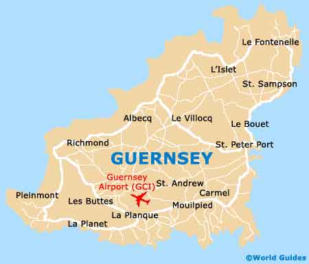
Located in the parish of Forest, on the southern side of the island, Guernsey Airport (GCI) was founded in 1946 and recently modernised, with a new terminal opening in 2004. The airport stands around 5 km / 3 miles from Saint Peter Port, the island's capital, being connected by Island Coachways buses and various taxi firms.
Guernsey Airport (GCI) Maps: Important City Districts
The island of Guernsey comprises ten separate parishes, each of which features its own set of communities, neighbourhoods and attractions. Guernsey's parishes are as follows:
- Castel (north, 10.2 square kilometers / 3.9 square miles)
- Forest (south, 4.1 square kilometers / 1.6 square miles)
- Saint Andrew (central, 4.5 square kilometers / 1.7 square miles)
- Saint Martin (south central, 7.3 square kilometers / 2.8 square miles)
- Saint Peter Port (east, 6.7 square kilometers / 2.6 square miles)
- Saint Pierre du Bois (west, 6.3 square kilometers / 2.4 square miles)
- Saint Sampson (north, 6.0 square kilometers / 2.3 square miles)
- Saint Saviour (west, 6.4 square kilometers / 2.5 square miles)
- Torteval (south-west central, 3.1 square kilometers / 1.2 square miles)
- Vale (south-west, 9.0 square kilometers / 3.5 square miles)
All of Guernsey's parishes are edged by the English Channel on at least one side, with the exception of Saint Andrew, which is located in the very centre of the island and surrounded by land on all sides.
Channel Islands Map
Guernsey Map
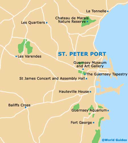
St. Peter Port Map